We provide a range of training courses using ESRI and QGIS software products, some examples are listed below but do contact us to discuss any aspect of GIS and Geospatial training you may have.
A selection of training courses we provide
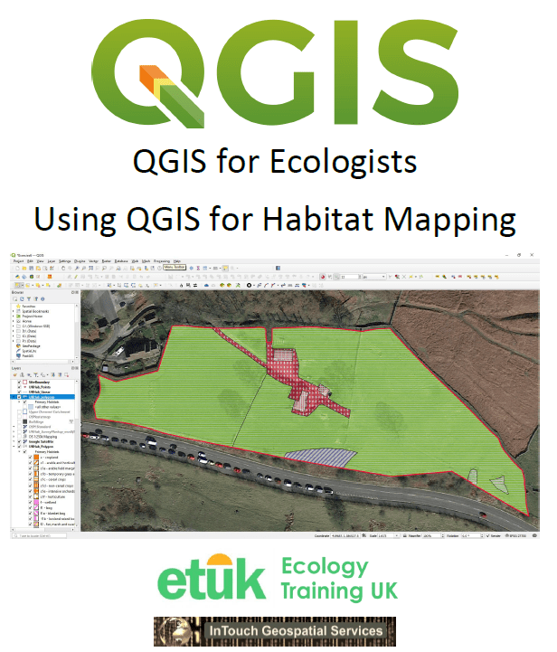
QGIS for Ecologists – Beginners Webinar
This entry level course is for Ecologists interested in using QGIS software for mapping ecological information. This course covers the basics of using Geographical Information Systems (GIS) to produce ecological maps suitable for use in reports and presentations. It is run in conjunction with Ecology Training UK.
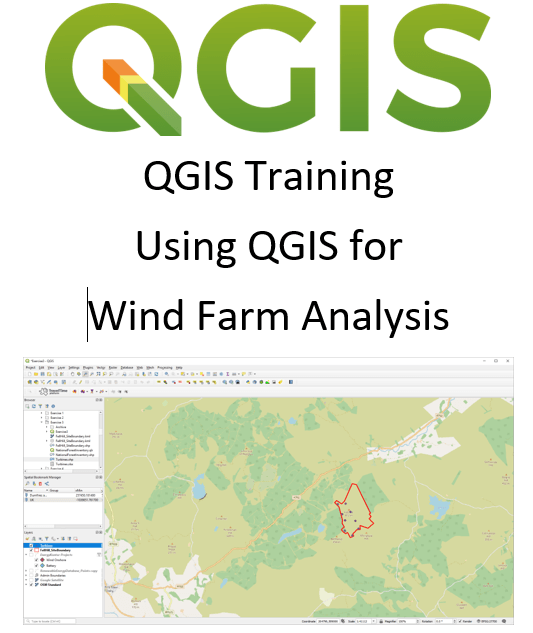
QGIS for Wind Farm Analysis
Although this course is primarily aimed at those developing onshore wind farms, it is of value for anyone developing any renewable energy scheme or other site development. It will cover the use of QGIS to create site maps and site layouts and undertake basic geospatial analysis such as proximity to designated sites, viewshed and ZTV creation.
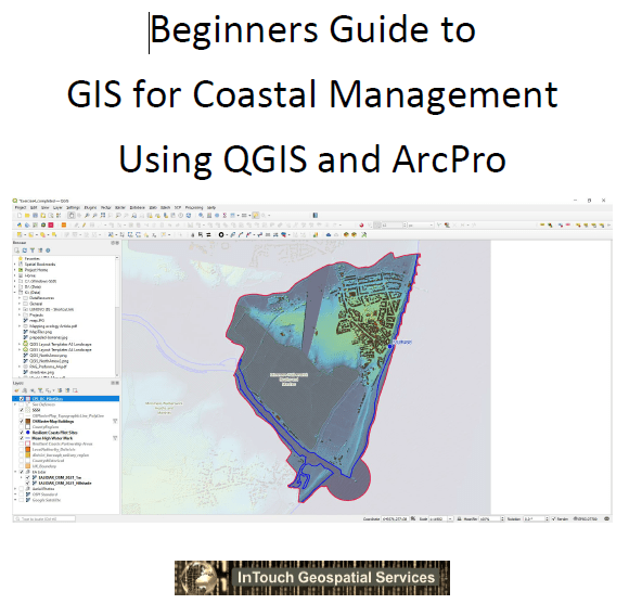
QGIS/ArcPro for Coastal Management
Using either QGIS or ESRI ArcPro (or in fact both), this course focuses on the functions needed for mapping and analysis of coastal zones and the common issues that need to be addressed. This will include using Environment Agency LIDAR data, use of OS Mastermap features, creation of buffer zones and proximtiy analysis.
ArcGIS Desktop to ArcPro Conversion course
For beginners or experienced ESRI ArcGIS Desktop users who are transitioning to using ArcGIS Pro, this short course will cover the basics of the new user interface, project structure and functionality around which ArcGIS Pro uses.
