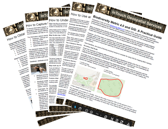
InTouch Geospatial Services has produced several ‘How To…” guides to help users of geographic data through a number of topics, from understanding issues around map scales and the range of mapping products available, through to obtaining geographic data from online data providers.
Current guides include:
- How to Understand Map Scale and Accuracy
- How to Obtain Map Data for your project
- How to Use and read Map co-ordinates
- How to Capture Data and Ensure Quality Standards
- How to Understand Accuracy and Precision
- How to Use CAD files in GIS: A Technical Specification
- Biodiversity Net Gain and GIS: A Practical Guide
Maps and Mapping for Ecology Surveys – Using GIS and mapping software efficiently – An online article for Inside Ecology magazine.
